Product Introduction
- The Map of Human Ideas is an interactive visualization tool that plots over 250 historically significant discoveries, philosophies, inventions, and cultural movements on a world map. It provides geographic context to humanity’s intellectual and creative milestones, spanning disciplines like science, technology, art, and politics. Users explore a chronologically enriched spatial representation of ideas that shaped civilizations.
- The product’s core value lies in bridging historical knowledge with geospatial understanding, enabling users to trace the origins and diffusion of transformative concepts. It serves as an educational resource and curiosity-driven exploration tool, emphasizing the interconnectedness of human progress across time and regions.
Main Features
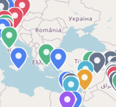
- The map displays categorized ideas using color-coded markers for seven domains: Science, Technology, Art & Culture, Philosophy, Politics & Society, Exploration, and Communication. Each marker includes contextual details such as origin date, key contributors, and historical impact.
- Users interact with the map via zoom (Ctrl + scroll) and pan (two-finger drag) functionalities, optimized for both desktop and touchscreen devices. The interface integrates OpenStreetMap data for accurate geographic rendering and seamless navigation across regions.
- A dynamic legend allows filtering by idea categories, while the “I’m Feeling Curious” feature generates randomized idea highlights to encourage serendipitous discovery. The design prioritizes minimalistic usability with responsive loading for global coverage.
Problems Solved
- The product addresses the lack of centralized, visually intuitive resources that correlate historical ideas with their geographic origins, which often leads to fragmented understanding of cultural and scientific evolution.
- It targets educators, students, and lifelong learners seeking to contextualize historical milestones spatially, as well as researchers analyzing regional patterns in innovation.
- Typical use cases include classroom instruction on the history of science, self-guided exploration of philosophical movements, and cross-disciplinary research into technological diffusion across continents.
Unique Advantages
- Unlike conventional timelines or text-based histories, this tool uniquely layers temporal and spatial data, revealing clusters of innovation (e.g., ancient Mesopotamia’s legal codes or Silicon Valley’s tech breakthroughs).
- The integration of OpenStreetMap with custom historical datasets enables precise geotagging of ideas, including disputed or ancient locations adjusted for historical accuracy.
- Competitive advantages include a curated dataset of 250+ vetted entries, open-source map integration for transparency, and a mobile-responsive design that supports exploratory learning without requiring specialized software.
Frequently Asked Questions (FAQ)
- How many ideas are included in the map? The map currently features over 250 entries, spanning from ancient inventions like the wheel (3500 BCE) to modern innovations like the World Wide Web (1989). New entries are added quarterly based on user feedback and academic collaboration.
- Can I contribute ideas to the map? The project is currently a curated dataset, but users can submit suggestions via the website’s contact form. Submissions require verifiable historical sources and geographic coordinates for review.
- What map data does the product use? The base layer relies on OpenStreetMap for up-to-date geographic accuracy, supplemented by custom layers for historical regions and defunct landmarks (e.g., Library of Alexandria).
- Is the map accessible offline? The tool requires an internet connection to load map tiles and idea data, but a PDF export feature is planned for offline educational use in late 2025.
- How does “I’m Feeling Curious” work? The feature uses an algorithm to randomly select under-explored or cross-disciplinary ideas, prioritizing lesser-known entries with high historical impact scores from the dataset.