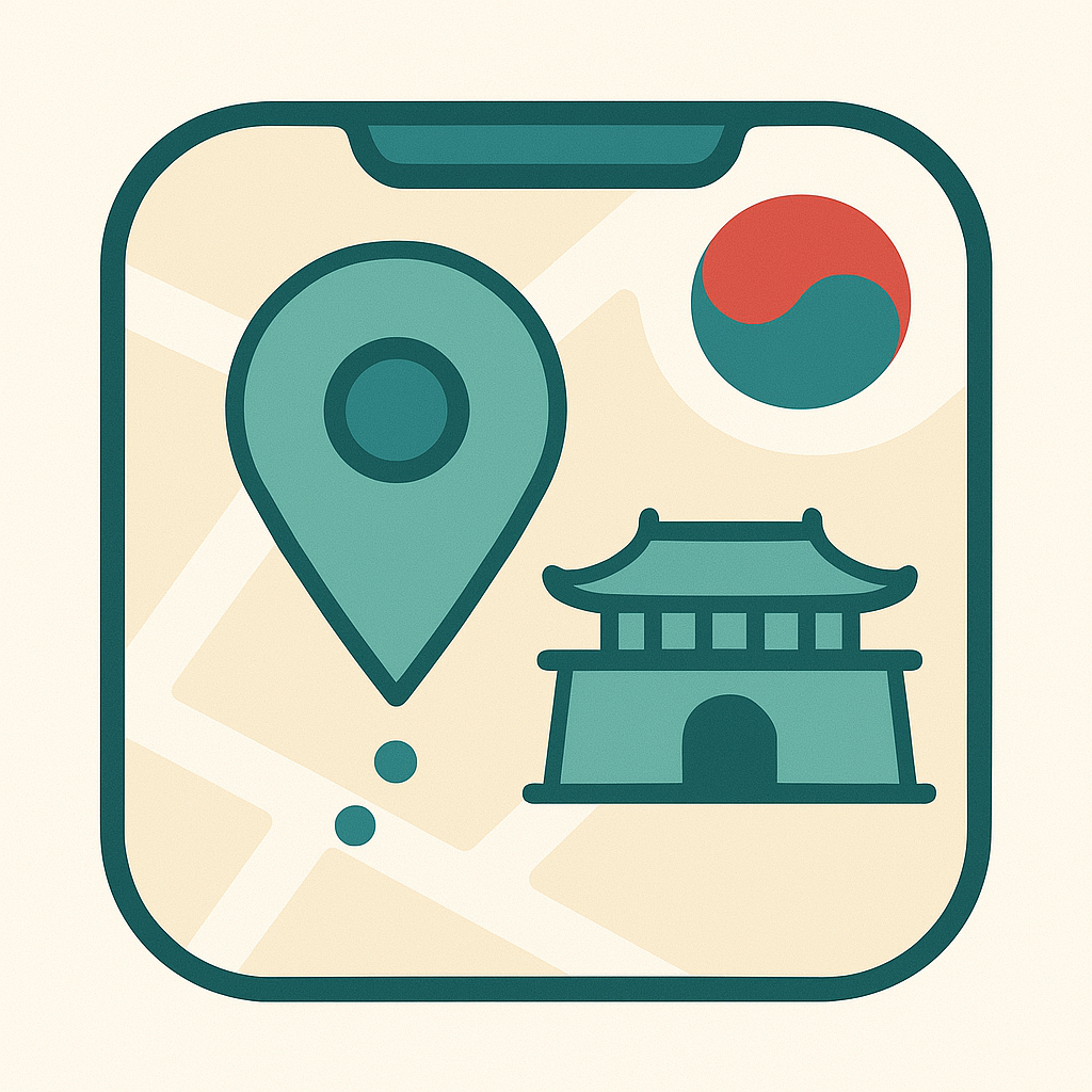
Product Introduction
- WayKo is a specialized navigation application designed for foreign travelers in South Korea, offering integrated walking and public transit routing unavailable on mainstream platforms like Google Maps. It combines voice search in multiple languages with Google Maps integration and tag-based place discovery to simplify travel planning. The app focuses on overcoming limitations caused by local mapping restrictions and language barriers faced by international visitors.
- The core value lies in providing accurate multimodal navigation (walking + transit) with localized data tailored for non-Korean speakers. It addresses critical gaps in existing solutions by enabling voice-based queries in the user’s native language and aggregating essential travel information into a single platform. This ensures seamless exploration of urban and rural areas without reliance on fragmented tools.
Main Features
- Voice-Powered Navigation: Users can speak destination queries in their native language, which the app translates into Korean to generate routes. This eliminates the need to manually input complex Korean addresses or memorize local spellings. The feature supports real-time processing and integrates with transit databases for immediate route suggestions.
- Comprehensive Transit Routing: WayKo provides step-by-step directions combining subways, buses, and walking paths, with precise arrival/departure times and fare estimates. Unlike Google Maps, it includes walking routes restricted in other apps due to South Korea’s mapping regulations, ensuring full coverage for pedestrian navigation.
- Tag-Based Place Discovery: Locations are categorized using tags like “restaurants,” “attractions,” or “accommodation,” allowing users to filter results based on interests. Each entry includes translated descriptions, ratings, and direct Google Maps integration for deeper exploration. The system updates dynamically based on proximity and user preferences.
Problems Solved
- Military Mapping Restrictions: WayKo bypasses limitations imposed on Google Maps in South Korea, which lacks walking routes due to national security laws. By leveraging locally compliant data sources, it delivers complete pedestrian and transit navigation unavailable on global platforms.
- Foreign Travelers’ Needs: The app targets non-Korean-speaking tourists, business travelers, and students who struggle with language barriers and fragmented navigation tools. It consolidates route planning, place discovery, and multilingual support into a single solution.
- Complex Urban Navigation: Users navigating cities like Seoul or Busan can efficiently plan multi-modal trips (e.g., subway-to-bus transfers) while discovering nearby points of interest. Scenarios include finding hidden cafes in Jeonju or optimizing travel between dispersed attractions in Gyeongju.
Unique Advantages
- Hybrid Data Integration: WayKo combines proprietary transit data with Google Maps APIs, offering features like street views and reviews while resolving gaps in Google’s local routing capabilities. This dual-layer approach ensures both accuracy and familiarity for global users.
- Language-Agnostic Search: The voice recognition system processes queries in English, Mandarin, Japanese, and other languages, converting them into Korean-compatible search terms. This eliminates dependency on romanized Korean or manual translation.
- Tailored User Experience: Unlike Naver Map’s Korea-centric design, WayKo’s interface prioritizes foreign users with simplified menus, currency converters, and emergency service locators. Its offline-friendly design reduces data usage in areas with limited connectivity.
Frequently Asked Questions (FAQ)
- Does WayKo work offline? WayKo requires an internet connection for real-time transit updates and route calculations, but users can save frequently accessed maps and directions for limited offline use. Critical points of interest are cached during initial searches.
- Which languages does the voice search support? The app currently supports English, Japanese, Mandarin, and Spanish, with plans to add French and German. Queries are processed locally to ensure fast translation into Korean for route generation.
- How does WayKo differ from Google Maps? WayKo integrates walking routes restricted on Google Maps in South Korea and adds multilingual voice search, category-based place tagging, and public transit details optimized for foreign travelers. Google Maps data is supplemented with localized corrections.
- Is there a cost for using WayKo? The base app is free, but premium features like ad-free browsing, advanced route optimization, and priority customer support require a subscription. All core navigation functions remain accessible without payment.
- How frequently is transit data updated? Routes and schedules sync with Korea’s national transit databases every 10 minutes, ensuring accuracy during peak hours and special events. Users receive alerts for delays or route changes affecting their saved plans.